
Home > Apps > Maps & Navigation > All-In-One Offline Maps

| App Name | All-In-One Offline Maps |
| Developer | Psyberia |
| Category | Maps & Navigation |
| Size | 7.2 MB |
| Latest Version | 3.15d |
| Available on |


OfflineMaps provides you with access to an extensive range of maps, ensuring a seamless experience without the distractions of ads, data sharing, monetization, analytics, or third-party libraries. Tired of waiting for maps to load? With All-In-One OfflineMaps, once a map is displayed, it's stored for quick access, even without a network connection.
- Looking for more than just road maps? You'll find everything you need right here.
- Traveling to areas with poor network coverage? No worries, all your maps remain accessible.
- Planning to go abroad? You'll never feel lost with OfflineMaps.
- Concerned about data usage limits? OfflineMaps helps reduce your data consumption.
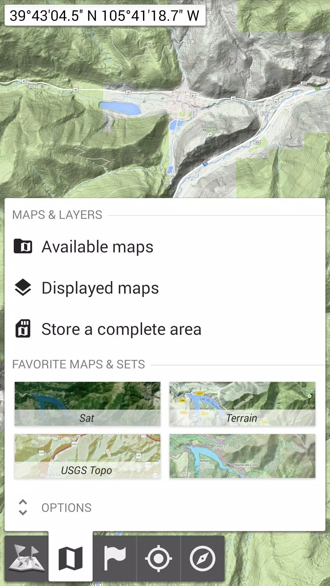
★★ Maps ★★
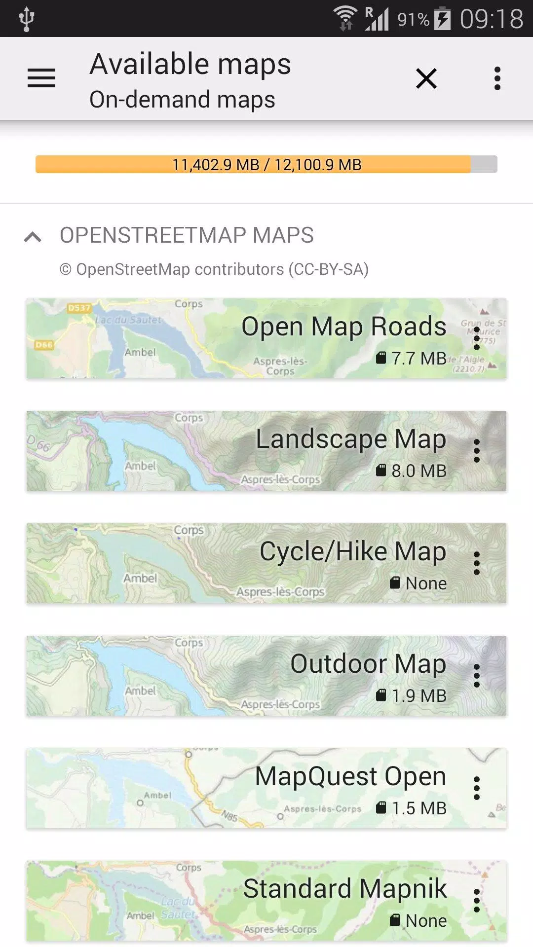
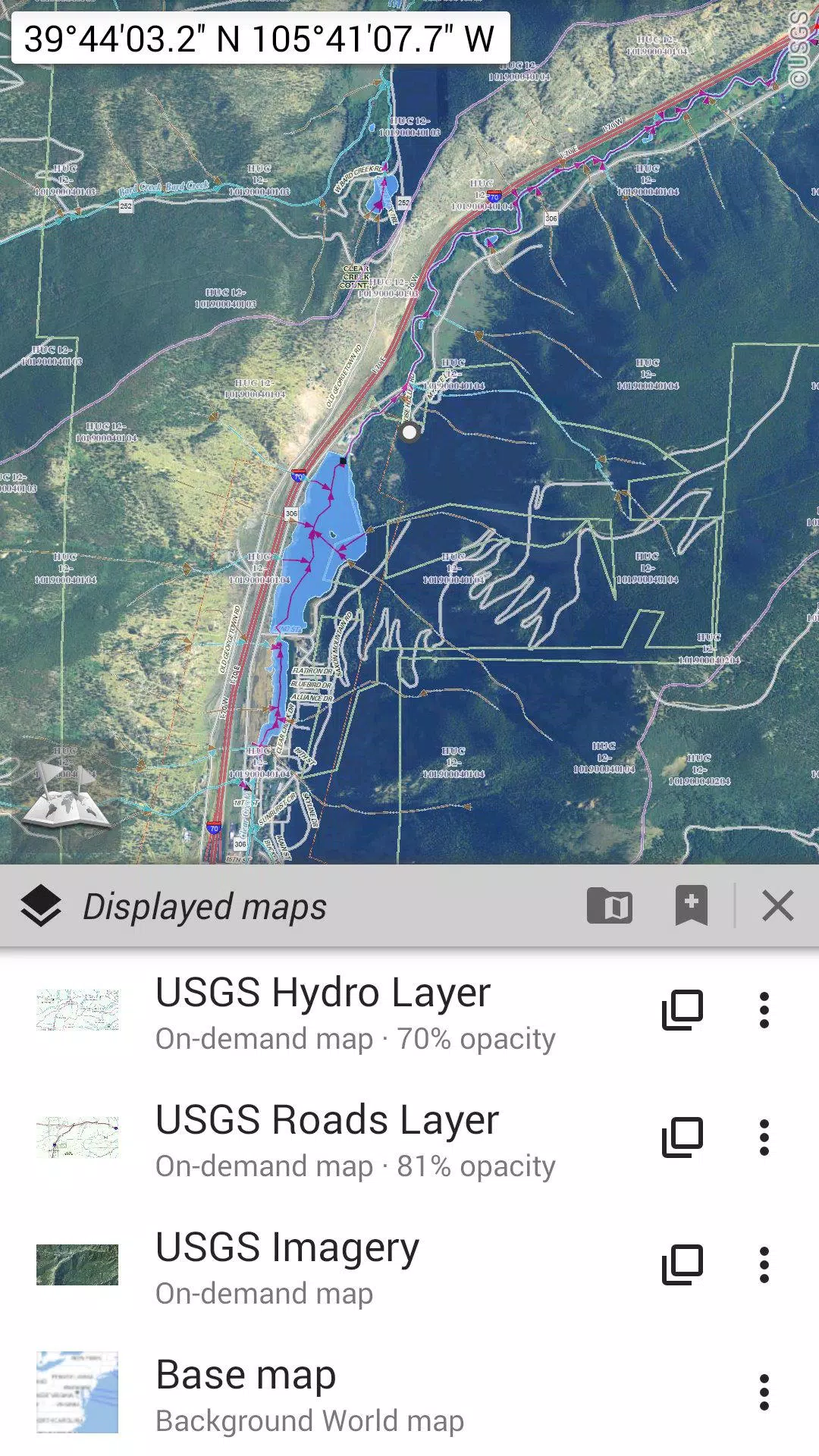
Explore a variety of maps including traditional road maps, topographic maps, aerial (satellite) imagery, and numerous layers that can be overlaid on any map: OpenStreetMap (Roads, Topo), USGS National Map (High-resolution topo, Aerial imagery), and Worldwide Military Soviet topo maps, among others.
- All maps can be layered with precise control over opacity.
- Select and store large areas with just a few clicks.
- Stored data is clearly organized and can be easily deleted.
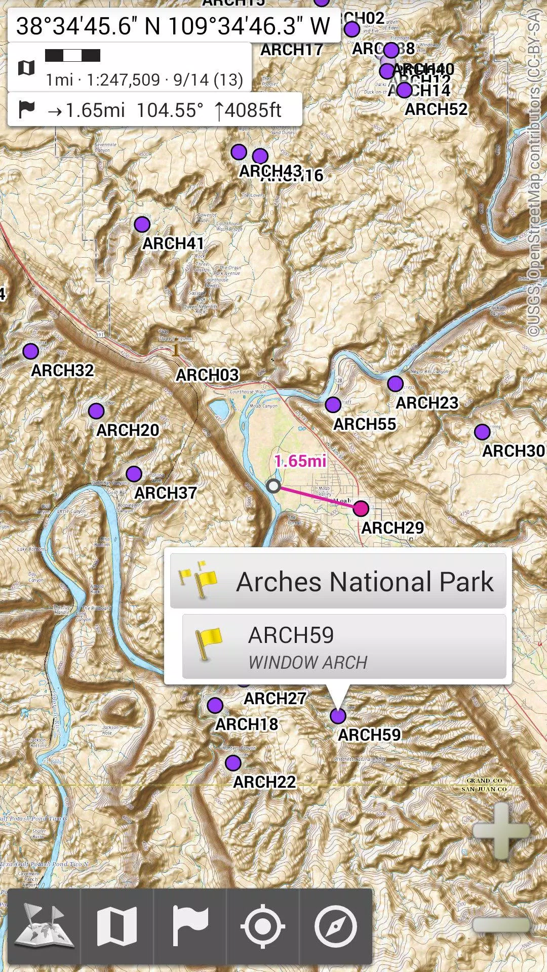
★★ Display, Store, and Retrieve Unlimited Placemarks ★★
Add various elements to your maps such as waypoints, icons, routes, areas, and tracks. Manage them effortlessly with the powerful SD-Card Placemarks Explorer.
★★ On-Map GPS Location & Orientation ★★
Your real-time location and direction are clearly shown on the map, which can be rotated to align with your actual orientation (depending on device capabilities). Easily toggle on/off to conserve battery life.
Additional features include:
- Metric, imperial, and hybrid distance units.
- GPS Latitude/Longitude and various grid coordinate formats such as UTM, MGRS, USNG, OSGB Grid, Irish Grid, Swiss Grid, Lambert Grids, DFCI Grid, QTH Maidenhead Locator System, and more.
- The ability to import numerous coordinate formats from spatialreference.org.
- On-map grid display.
- Full-screen map view.
- Multi-touch zoom.
- And much more.
★★ Need More? ★★
For avid adventurers, consider trying AlpineQuest Off-Road Explorer, the comprehensive outdoor solution built on All-In-One OfflineMaps. It includes a powerful GPS Track Recorder and additional features: alpinequest.net/google-play.
-
 Sonic Racing: CrossWorlds Characters and Tracks Revealed for Upcoming Closed Network Test
-
 Marvel Rivals Season 1 Release Date Revealed
-
 Honkai: Star Rail Update Unveils Penacony Conclusion
-
 Announcing Path of Exile 2: Guide to Sisters of Garukhan Expansion
-
 Ubisoft Cancels Assassin's Creed Shadows Early Access
-
 Best Model Kits for Adults in 2025: Ultimate Guide