

| App Name | Map Pilot Pro |
| Developer | Maps Made Easy |
| Category | Business |
| Size | 162.4 MB |
| Latest Version | 2.2.6a |
| Available on |


Get superior data for superior results with any photogrammetry software.
Drawing on over 8 years of DJI flight app expertise, Map Pilot Pro enables you to design and execute the ideal flight path for creating high-quality maps through the Maps Made Easy processing service. Generate your final output using your preferred photogrammetry tools or our Maps Made Easy online platform. Mapping has never been this straightforward.
All flight logs and mission plans can be synchronized with Maps Made Easy's FlightSync system for advanced debugging and troubleshooting, helping users produce top-tier maps.
Map Pilot Pro serves as a companion application designed for gathering data specifically for the Maps Made Easy processing platform. Access Maps Made Easy's processing by purchasing points on a pay-as-you-go basis or through a monthly subscription.
Capture exceptional aerial data with Map Pilot Pro and process unlimited projects containing up to 325 images (12 megapixels) at no cost through Maps Made Easy.
View Full Documentation: http://support.dronesmadeeasy.com
If unavailable in the Play Store, download the APK here: https://support.dronesmadeeasy.com/hc/en-us/articles/8160429529876-Installation
Mini 3 and Enterprise aircraft users must also use the APK.
Define your area, choose your detail level, and begin.
Features:
Multi-Battery Management
Manual Restart Point Selection
FlightSync to Maps Made Easy
Mission and Boundary Sync with Maps Made Easy
Flight Zone Management
Manual Restart Point definition
Automatic, Aperture/Shutter Priority and Manual Exposure Modes
Basemap Caching for Offline Operations
Connectionless Camera Triggering
Fully Offline Capable Terrain Awareness
Multi-Pass Linear Mission Planning
Custom Terrain Data Import
3D Grid Mission Planning
Multi-Flight Coordination
Movable Home Point to Track the Pilot
Save/Edit Missions
Re-fly Saved Missions
View 3D logs on-device with Google Earth
Import KML
Export KML, log files and Mission Plans
Flight Log review
Built-in Simulator for testing
AirData and DroneLogbook upload from Log File Manager
JPG, RAW and Video recording formats
Fullest Possible Use of Each Battery
Appropriate Camera Triggering
Overlap Management
Speed Management
Automatic Takeoff and Landing
Live Video Preview
Signal Quality Warning
Line of Sight Indicator
Automatically Captures Elevation Reference Image (Ground Image)
Natural Landing Assistance
Live Map View
Supported Aircraft:
Visit our site for the complete list - https://support.dronesmadeeasy.com/hc/en-us/articles/205704366-Supported-Hardware
Mavic Pro
Mavic Air
Air 2 and Air 2S
Air 3 (Export Only)
Mini 2
Mavic 2 (Pro, Zoom, and Enterprise)
Mavic 3 (Export Only)
Mini 3 and Mini 3 Pro
Mini 4 Pro (Export Only)
Phantom 4
Phantom 4 Pro * (v2 included)
Phantom 4 Pro Plus
Phantom 4 RTK
Phantom 4 Advanced
Phantom 3 Professional
Phantom 3 Advanced
Phantom 3 Standard
Inspire 1
Inspire 1 Pro
Inspire 2
Matrice 100 (M100)
Matrice 200 (M200)
Matrice 210 (M210)
Matrice 210 RTK (M210RTK)
Matrice 600 (M600)
Matrice 600P (M600P)
Matrice 300 RTK (M300, M300RTK)
Supported External Cameras:
DJI X3
DJI X5
DJI X4S
DJI X5S
DJI X7
DJI XT2
DJI H20T
DJI H20
P1
What's New in the Latest Version 2.2.6a
Last updated on Oct 24, 2024
Fixed duplicate display of account sync message
Added loading indicator to account sync
Fixed disabled login buttons following errors
Added Help option for login failures
-
 Sonic Racing: CrossWorlds Characters and Tracks Revealed for Upcoming Closed Network Test
-
 Marvel Rivals Season 1 Release Date Revealed
-
 Honkai: Star Rail Update Unveils Penacony Conclusion
-
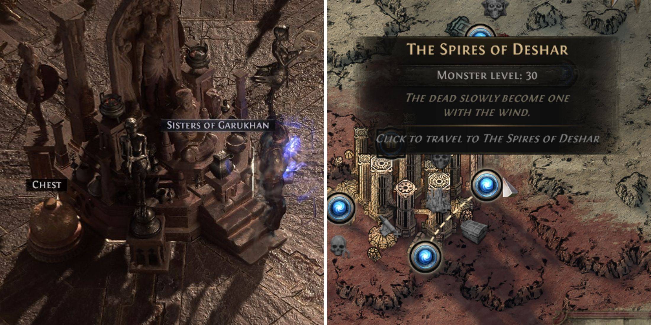 Announcing Path of Exile 2: Guide to Sisters of Garukhan Expansion
-
 Ubisoft Cancels Assassin's Creed Shadows Early Access
-
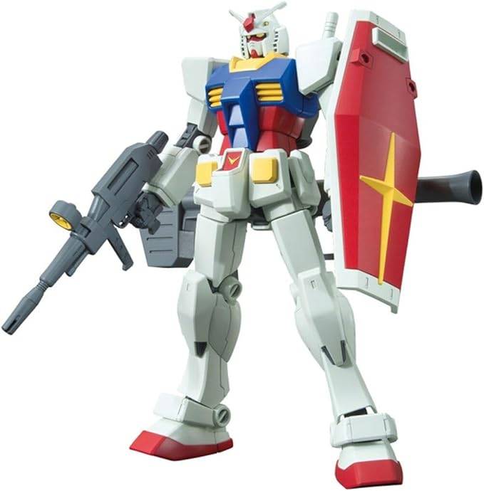 Best Model Kits for Adults in 2025: Ultimate Guide