
Home > Apps > Travel & Local > OsmAnd — Maps & GPS Offline

| App Name | OsmAnd — Maps & GPS Offline |
| Developer | OsmAnd |
| Category | Travel & Local |
| Size | 355.9 MB |
| Latest Version | 4.8.6 |
| Available on |


Hiking and navigating the great outdoors has never been easier, thanks to OsmAnd, an offline world map application rooted in OpenStreetMap (OSM). This robust app empowers you to navigate with precision, considering your preferred roads and even the dimensions of your vehicle. Whether you're plotting routes based on inclines or recording GPX tracks, OsmAnd ensures you stay on course without needing an internet connection.
As an open-source app, OsmAnd prioritizes your privacy. It does not collect user data, and you have full control over the data the app can access. This commitment to user privacy and autonomy makes OsmAnd a trusted companion for adventurers worldwide.
Main Features:
Map View
- Customizable Places: Tailor your map to show attractions, food outlets, health services, and more, enhancing your journey with relevant points of interest.
- Versatile Search: Easily locate destinations by address, name, coordinates, or category, ensuring you never miss out on must-visit spots.
- Map Styles for Activities: Choose from various styles such as touring view, nautical maps, winter and ski maps, topographic maps, desert maps, off-road maps, and more to suit your specific adventure.
- Enhanced Visuals: Benefit from shading relief and plug-in contour lines, along with the ability to overlay different map sources for a richer navigation experience.
GPS Navigation
- Offline Route Planning: Plot your route to any destination without an internet connection, ensuring seamless navigation in remote areas.
- Custom Profiles: Customize navigation profiles for cars, motorcycles, bicycles, 4x4 vehicles, pedestrians, boats, public transport, and more to match your mode of travel.
- Flexible Route Adjustments: Modify your route to avoid certain roads or surfaces, giving you greater control over your journey.
- Detailed Route Information: Access customizable widgets displaying vital information like distance, speed, remaining travel time, and distance to the next turn.
Route Planning and Recording
- Precise Route Creation: Plan routes point by point using single or multiple navigation profiles, ensuring a tailored journey.
- GPX Track Recording: Record your routes using GPX tracks, enabling you to revisit or share your adventures.
- GPX Track Management: Display and navigate through your own or imported GPX tracks on the map, enhancing your route planning capabilities.
- Route Data Visualization: Access visual data on descents/ascents and distances, providing a comprehensive understanding of your route.
- Shareable GPX Tracks: Share your recorded GPX tracks on OpenStreetMap, contributing to the community's knowledge.
Creation of Points with Different Functionality
- Favourites: Save your favorite locations for quick access on future trips.
- Markers: Use markers to highlight important spots on your map.
- Audio/Video Notes: Attach audio or video notes to points of interest, enriching your navigation experience.
OpenStreetMap Integration
- Contribute to OSM: Make edits to OpenStreetMap, actively contributing to the global mapping community.
- Frequent Updates: Update maps as frequently as every hour, ensuring you have the most current data at your fingertips.
Additional Features
- Compass and Radius Ruler: Navigate with confidence using the in-built compass and radius ruler.
- Mapillary Interface: Access street-level imagery through the Mapillary interface, adding depth to your exploration.
- Night Theme: Switch to a night theme for comfortable viewing during evening or night-time adventures.
- Wikipedia Integration: Access Wikipedia articles for places of interest, enriching your understanding of your surroundings.
- Global Community: Join a large community of users worldwide, benefiting from extensive documentation and support.
Paid Features:
Maps+ (In-App or Subscription)
- Android Auto Support: Seamlessly integrate OsmAnd with Android Auto for enhanced in-car navigation.
- Unlimited Map Downloads: Download as many maps as you need, ensuring comprehensive coverage of your travel areas.
- Topographic Data: Access contour lines and terrain data for detailed route planning in varied landscapes.
- Nautical Depths: Navigate water bodies with confidence using detailed nautical depth information.
- Offline Wikipedia: Access Wikipedia articles offline, enhancing your knowledge even in remote areas.
- Offline Wikivoyage: Utilize offline travel guides from Wikivoyage, ensuring you have all the travel information you need at your fingertips.
OsmAnd Pro (Subscription)
- OsmAnd Cloud: Backup and restore your data effortlessly with OsmAnd Cloud.
- Cross-Platform Compatibility: Use OsmAnd across different platforms without losing your data.
- Hourly Map Updates: Stay up-to-date with hourly map updates, ensuring you have the latest information.
- Weather Plugin: Access real-time weather information to plan your routes more effectively.
- Elevation Widget: Monitor elevation changes with the dedicated elevation widget.
- Customizable Route Line: Personalize the appearance of your route line to match your preferences.
- External Sensors Support: Integrate external sensors like ANT+ and Bluetooth for enhanced navigation capabilities.
- Online Elevation Profile: Access detailed elevation profiles online, aiding in more accurate route planning.
-
 Sonic Racing: CrossWorlds Characters and Tracks Revealed for Upcoming Closed Network Test
-
 Marvel Rivals Season 1 Release Date Revealed
-
 Honkai: Star Rail Update Unveils Penacony Conclusion
-
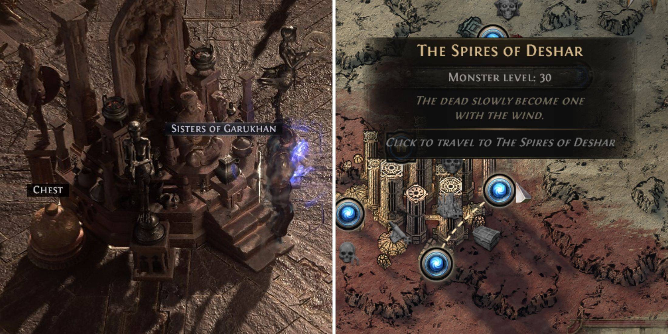 Announcing Path of Exile 2: Guide to Sisters of Garukhan Expansion
-
 Ubisoft Cancels Assassin's Creed Shadows Early Access
-
 Best Model Kits for Adults in 2025: Ultimate Guide